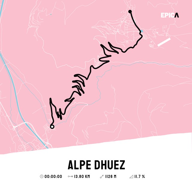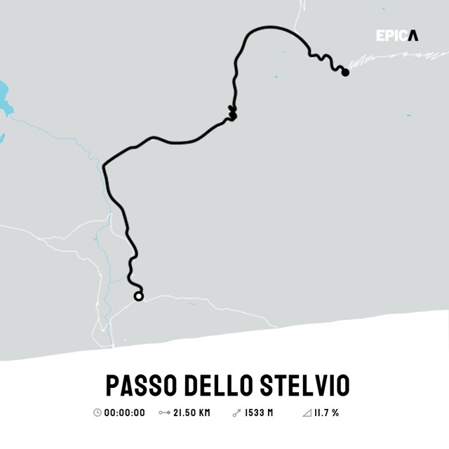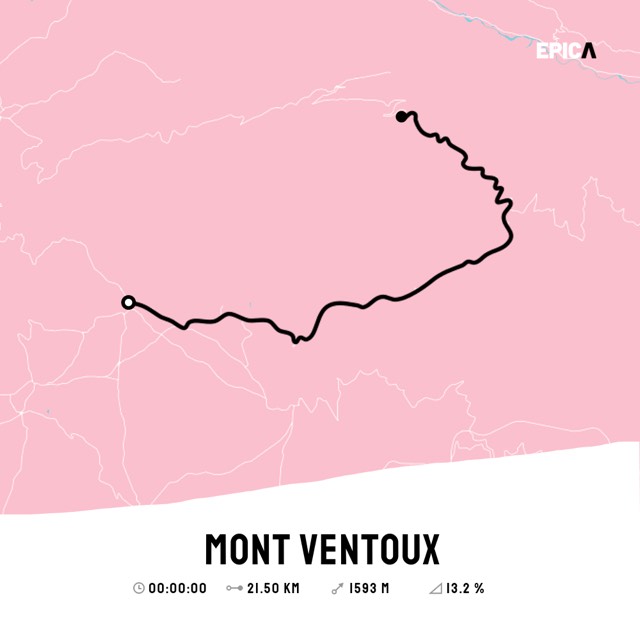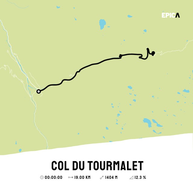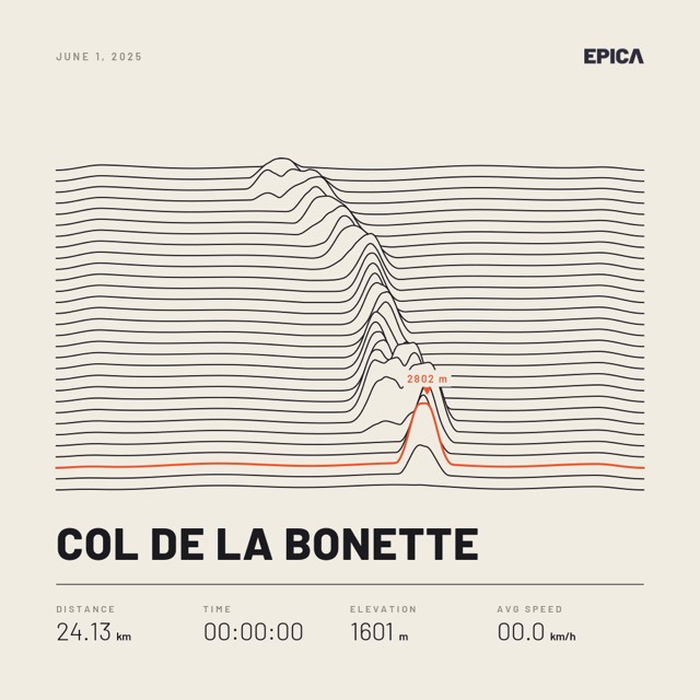

Ridgeline
Light · Night – 2 variants
from €39.90
Free shipping worldwide

The course is already there. Now just add the date and your time, choose a design, and your personal art print is ready.
Mercantour · France
One of the highest paved roads in the Alps, around the Cime de la Bonette: from Jausiers or from Saint-Étienne-de-Tinée.
Your print will show the Col de la Bonette course in the design you choose, with your date and your personal time. Printed on high-quality art paper, unframed or framed, with or without passe-partout – you decide all of that in the next steps.
In the next step you can make further settings, depending on the design you choose.

Ridgeline
Light · Night – 2 variants
from €39.90
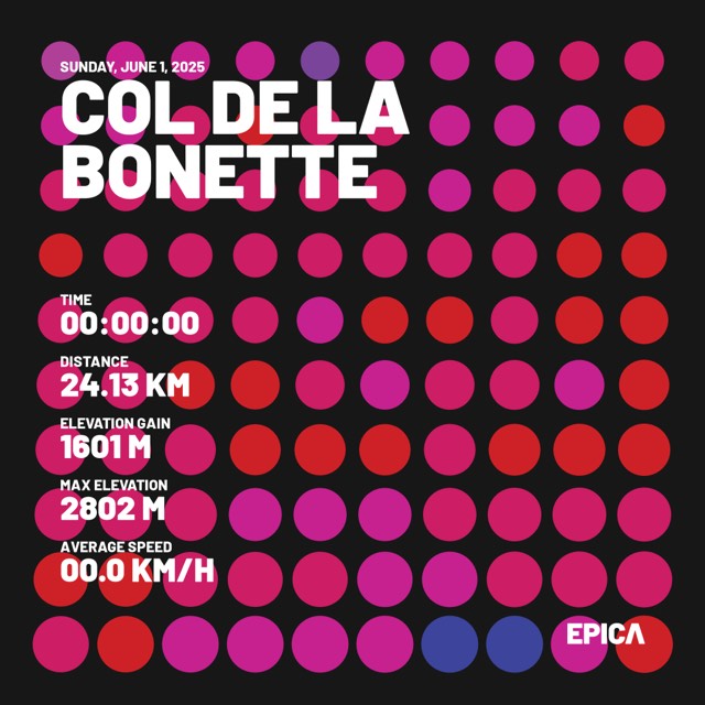

Dots
Dark · Light – 2 variants
from €39.90
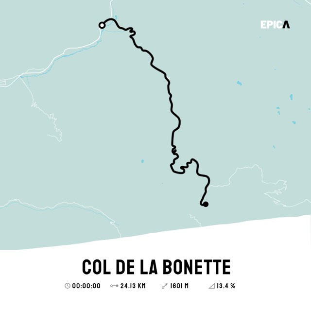

Chameleon
6 colours · photo variant
from €39.90
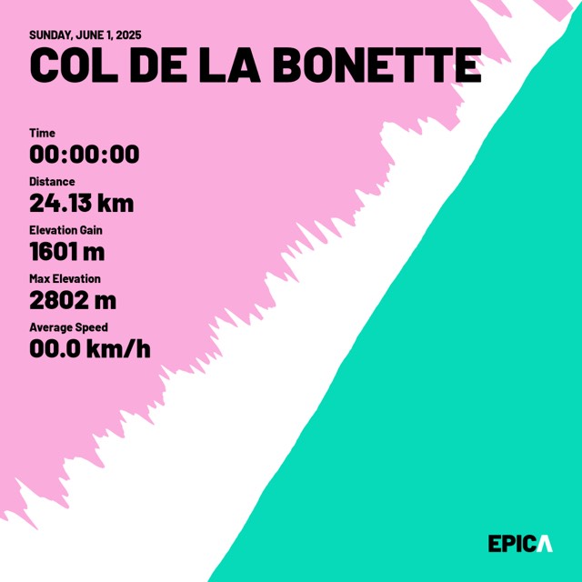

Miami Jaws
One variant
from €39.90
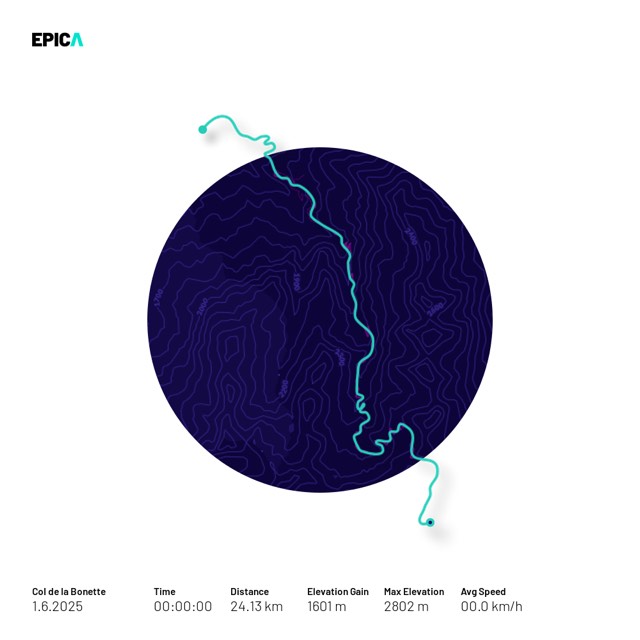

Arty Circle
One variant
from €39.90
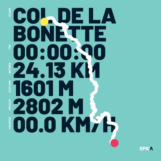

Bold Move
Cyan · Pink – 2 variants
from €39.90
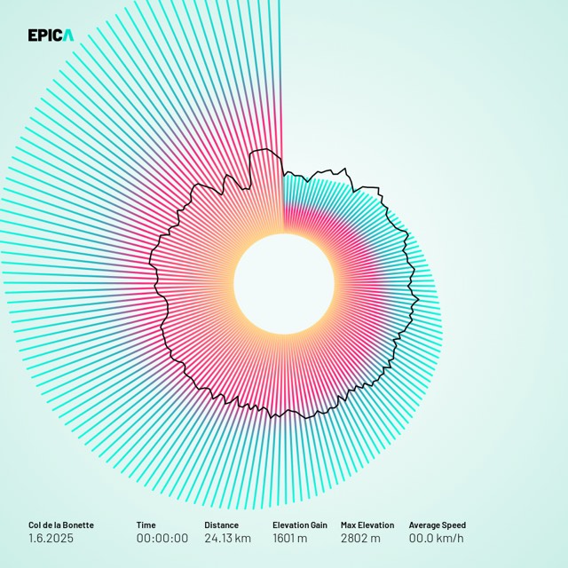

Activity Halo
One variant
from €39.90
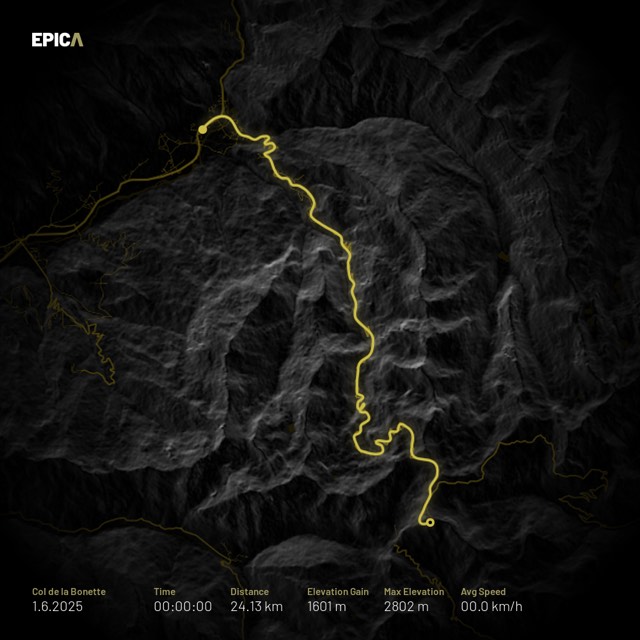

Shiny Roads
One variant
from €39.90
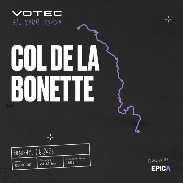

Votec - All your roads
With your own photo
from €39.90

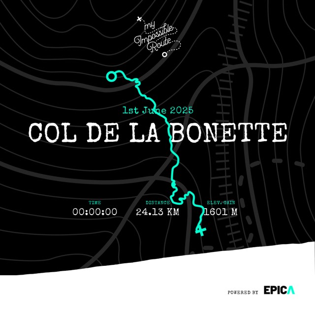

My Impossible Route
Dark · photo variant
from €39.90
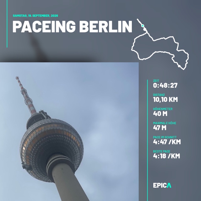

Picture Perfect
With your own photo
from €39.90
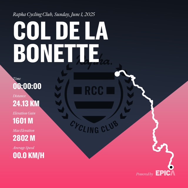

Rapha Cycling Club
One variant
from €39.90
The course is ready: route, distance and climbing.
Enter your date and finish time, and your own title if you like.
Choose a design and order it as an art print, unframed or framed, printed on art paper and shipped worldwide.
Your cookie & tracking settings
We use cookies to provide our service, improve your experience and keep our web service safe. You will find additional information about this on our privacy policy page.
Necessary
Always
activated
These are necessary for our web service to function. If you want to disable these cookies, you can change the settings of your browser. Please note that in this case some parts will not function.
Statistics

These cookies help us understand how our web service is being used. Based on this information we can improve our website continously for you.
Personalization
These cookies help us understand how our web service is being used. Based on this information we can improve our website continously for you.